
Infrastructure Inspection Systems
Airborne inspection platforms for bridges, buildings, utility facilities and critical infrastructure
System overview
Our infrastructure inspection system combines high-capacity UAV platforms with multispectral imaging sensors, LiDAR scanners and AI-driven defect detection software. The system is designed for inspecting bridges, buildings, roads and utility facilities, delivering centimeter-level accuracy while reducing inspection time by up to 80% compared to traditional methods.
80%
Faster than traditional methods
±1 cm
Positioning accuracy
61 MP
Multispectral resolution
0 m
Scaffolding required
System components
Included equipment
Enterprise Inspection Drone
Long-endurance VTOL platform with RTK positioning and IP45 weather resistance
Multispectral Camera Payload
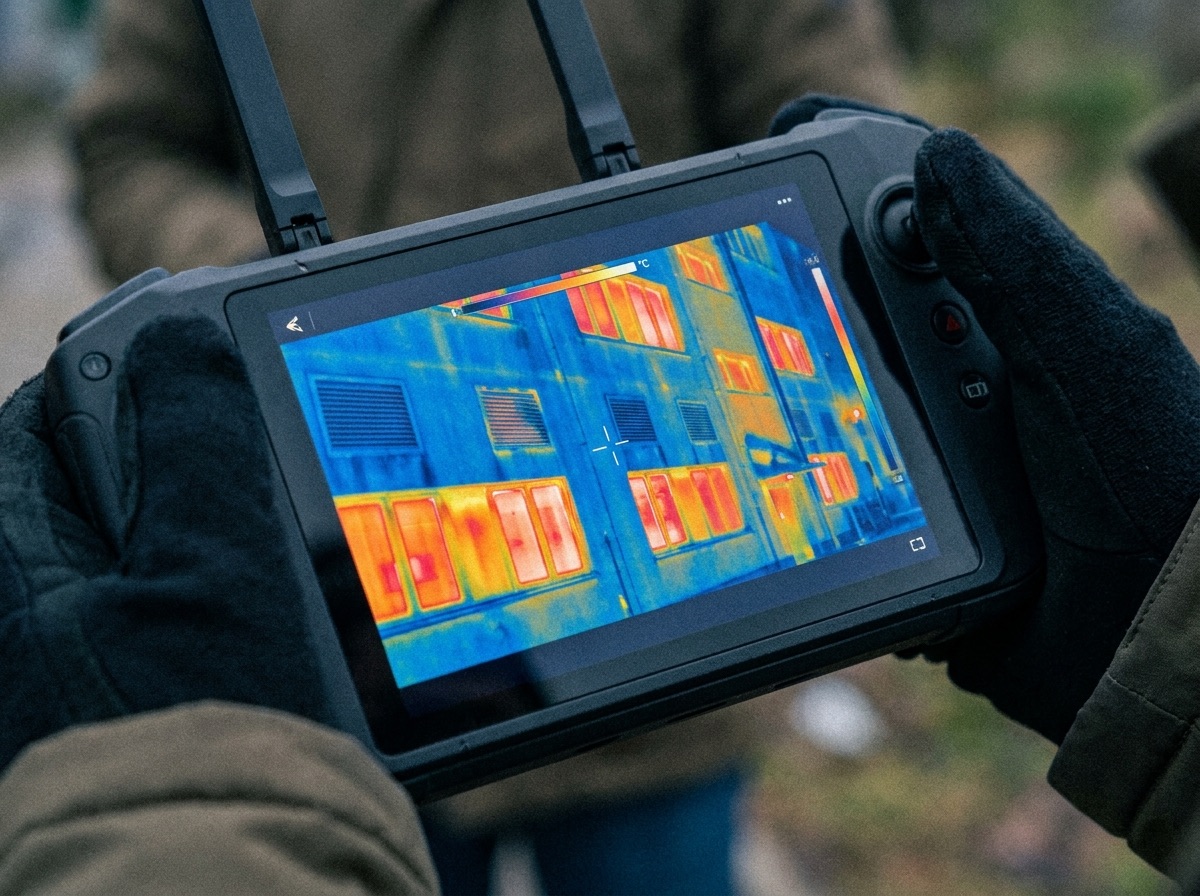
Visual, thermal and near-infrared imaging for comprehensive structural analysis
LiDAR Scanner Module
360° point cloud capture for precise 3D modeling of complex structures
Sign in to view equipment
Create a free account to view the full equipment list and technical specifications.
Applications
Use cases
Bridge Inspection
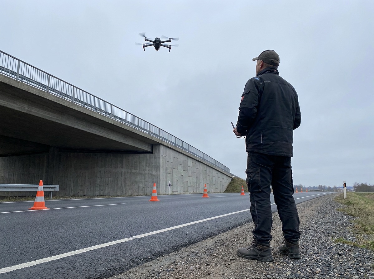
Inspect bridge decks, undersides and pylons without road closures. Thermal imaging identifies structural delamination invisible to the naked eye.
Energy Infrastructure
Wind turbine blade inspection, solar panel thermography and power line corridor surveys. AI detects hotspots, cracks and erosion without risk to field personnel.
Building Envelope Surveying
Facade inspections for moisture ingress, thermal bridging and structural cracks. Ideal for historic buildings where scaffolding is cost-prohibitive.
Deployment
How it works
Site Assessment
Preliminary site survey, airspace clearance and risk assessment conducted by our team.
Flight Operations
Systematic UAV coverage with automated mission planning, ensuring no gaps in data collection.
AI Processing
Raw data processed through our analysis platform — defects classified and mapped to your asset register.
Compliance Report
Tender-ready inspection report delivered with 3D model, defect log and recommended actions.
Results
Key benefits
- Reduce inspection time by up to 80% compared to traditional methods
- Centimeter-accurate measurements with RTK positioning
- Eliminate scaffolding, rope access and road closures
- Automated defect registration, classification and severity assessment
- EU regulation-compliant documentation ready for tender submission
- Real-time data sharing with project stakeholders
- 3D structural models exported to standard engineering formats
Sectors
Industries we serve
Get started
Request a consultation
Our specialists will assess your requirements and recommend the optimal system configuration for your facility.